NWS-MTR Flood Advisory
National Weather Service San Francisco CA
813 AM PST Mon Dec 22 2025
CAC075-081-221915-
/O.NEW.KMTR.FA.Y.0083.251222T1613Z-251222T1915Z/
/00000.N.ER.000000T0000Z.000000T0000Z.000000T0000Z.OO/
San Francisco CA-San Mateo CA-
813 AM PST Mon Dec 22 2025
...FLOOD ADVISORY IN EFFECT UNTIL 1115 AM PST THIS MORNING...
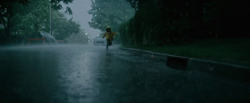
* WHAT...Urban area and small stream flooding caused by excessive
rainfall is expected.
* WHERE...Southeastern San Francisco County in northern California...
Northern San Mateo County in northern California...
* Until 1115 AM PST.
* IMPACTS...Minor flooding in low-lying and poor drainage areas.
* ADDITIONAL DETAILS...
- At 813 AM PST, Doppler radar indicated heavy rain. This will
cause urban and small stream flooding. Overflowing poor drainage
areas will cause minor flooding in the advisory area.
- Some locations that will experience flooding include...
San Francisco, Daly City, San Mateo, Redwood City, South San
Francisco, San Bruno, Pacifica, Foster City, Burlingame, San
Carlos, Belmont, Millbrae, Hillsborough, Atherton, Woodside,
Highlands-Baywood Park, North Fair Oaks, Brisbane, Colma and
Highlands.
- http://www.weather.gov/safety/flood
PRECAUTIONARY/PREPAREDNESS ACTIONS...
Turn around, don`t drown when encountering flooded roads. Most flood
deaths occur in vehicles.
Be aware of your surroundings and do not drive on flooded roads.
https://forecast.weather.gov/showsigwx.php?warnzone=CAZ006&warncounty=CAC075&firewxzone=CAZ006&local_place1=2%20Miles%20NNE%20Daly%20City%20CA&product1=Flood+Advisory&lat=37.7202&lon=-122.4546
#NWS-MTR issues #FloodAdvisory for SE #SanFrancisco & Northern #SanMateo Counties until 11:15 AM PST today.
Minor flooding in low-lying and poor drainage areas may occur.
Turn around, don`t drown. Do not drive on flooded roads. forecast.weather.gov/showsigwx.ph... #SFwx #CAwx